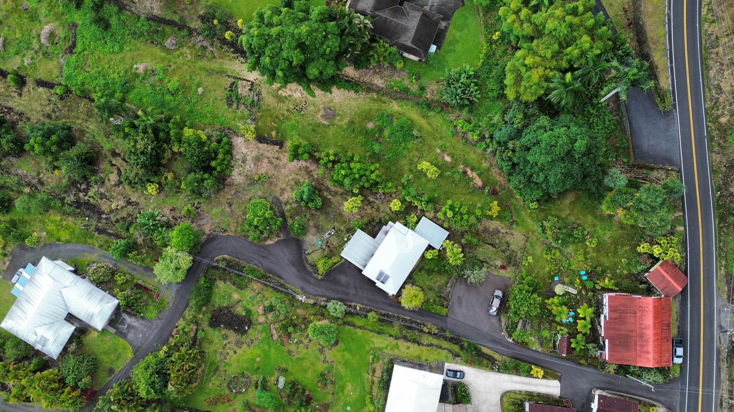
Aerial view of a surveyed Hawai'i parcel
Est. 1975 Kailua-Kona, Hawaiʻi 
Licensed Professional Surveyors

A Tradition of Excellence
in Land Surveying and Planning

Serving the Hawaiian Islands and the Pacific Basin since 1975.   Land Planning and Surveying -- subdivision design, entitlements, land feasibility studies, precision boundary, topographic, and shoreline surveys.

Scroll
K-1 Boundary Stakeout· K-2 Encroachment Surveys· Topographic Mapping· Shoreline Certification· Elevation Certificates· Subdivision· Construction Stakeout

Trusted across Hawaii’s
premier properties

Our team has performed land surveying, land planning and related professional services at most of Big Island's resort communities, premier residences, and public facilities.

Kohala Coast Resorts

  • Mauna Kea Resort
  • Mauna Lani Resort
  • Waikōloa Beach Resort
  • Four Seasons Resort Hualālai


Private Communities

  • Kūkiʻo
  • Kohanaiki
  • Kaʻūpūlehu
  • Hōkūliʻa
  • Puakō
  • The Bluffs at Mauna Kea Resort
  • Hualālai Resort


Kona & Public

  • Kailua-Kona
  • Keauhou
  • Kona International Airport
  • Federal / State / County
  • Military properties


This work includes some of Hawaiʻi Island’s most valuable real estate, largest master-planned communities, premier luxury developments, and most technically demanding public and private properties.

Serving Hawaiʻi for half a century.

Since 1975, Wes Thomas Associates has provided land surveying and land planning services throughout Hawaii. Our work helps clients understand, optimize, and responsibly develop land—from individual properties and public infrastructure projects to large residential communities and resort developments. Over five decades, we have contributed to thousands of private, government, and community projects across the Hawaiian Islands.

Our principals together bring more than 100 years of combined surveying experience in Hawaiʻi and the Pacific Basin.

50+
Years of Practice
1000s
Survey Projects
100+
Years Combined Staff Experience
LPLS
Licensed Professionals
Kailua-Kona, Hawaiʻi 96740
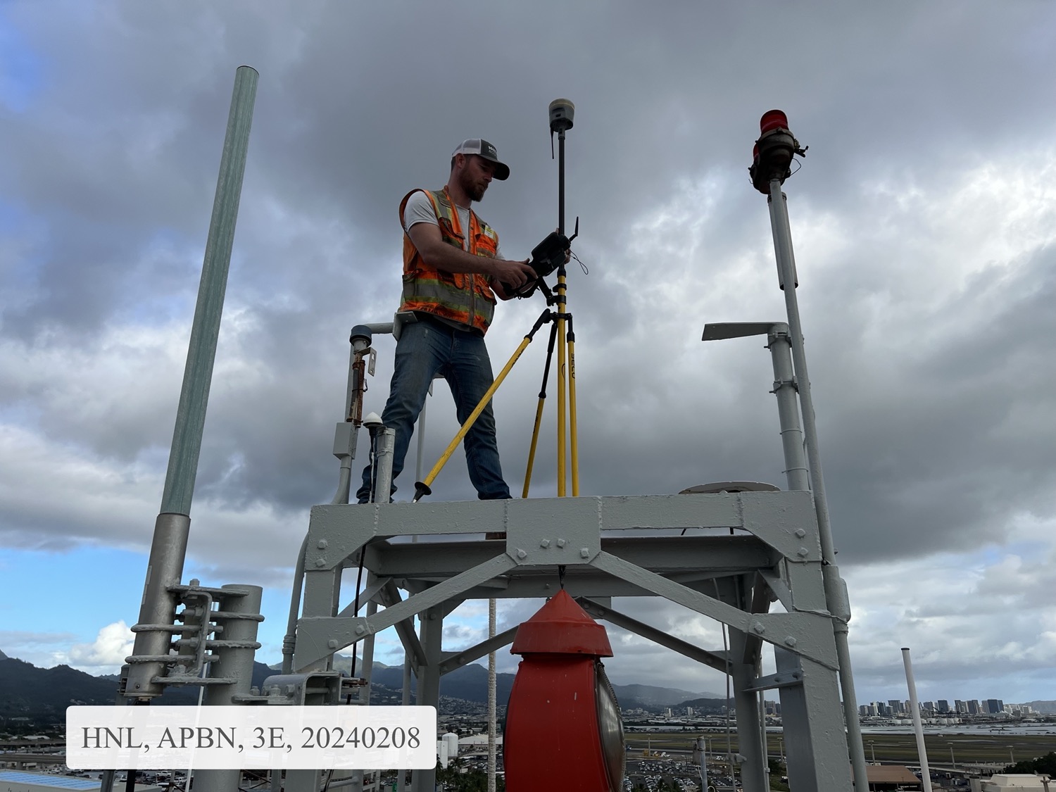
WTA surveyors at work on an instrument

Land
Surveying

Boundary, topographic, shoreline, and elevation surveys across every major Hawaiian Island since 1975.

Explore Surveying →
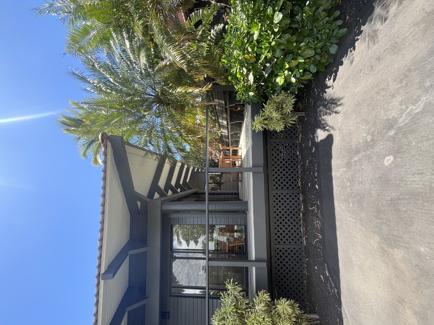
Developed Hawai'i property framed by palms

Land
Planning

Subdivision design, lot-line strategy, and entitlement support — turning raw parcels into buildable, permit-ready land.

Discuss a Project →

Our Expertise in Land Planning

The full range of professional land surveying and land planning services for homeowners, real estate professionals, lenders, engineers, architects, and government — performed across all the major Hawaiian Islands.

Planning
Subdivision & Master Planning
Concept-to-final subdivision design, lot layout, and phasing — from a single split to a master-planned community.
Planning
Land Use & Zoning Analysis
Feasibility and highest-and-best-use review against County zoning and State Land Use districts — before you buy or build.
Planning
Entitlement Processing
Shepherding use permits, plan approvals, variances, and change-of-zone applications through County and State agencies.
Planning
SMA & Coastal Permitting
Special Management Area permits and assessments for shoreline and near-shore parcels under Hawaiʻi’s coastal-zone rules.
Planning
Flood Zone & FEMA
Flood-zone determinations, LOMA / LOMR processing, and floodplain-development permit support.
Water & Utilities
Water Availability & Commitments
Securing County Water Supply availability letters and service commitments — the freshwater entitlement new lots depend on.
Water & Utilities
Wastewater Systems & Entitlements
Planning, permitting, and entitlements for wastewater -- community and package treatment systems for new subdivisions and resorts, and industrial pre-treatment for commercial dischargers.
Water & Utilities
Sewer Connection & Capacity
Sewer-lateral coordination and wastewater capacity / allocation applications where public sewer is available.
Water & Utilities
Utility Easements & Infrastructure
Locating, describing, and dedicating easements for water, sewer, power (HELCO), and telecom across a development.

Land Surveying

Fifty years of precision measurement across the Hawaiian Islands — boundary, topographic, shoreline, and elevation surveys that every land decision depends on.

Survey
K-1 Boundary Stakeout
Marking your parcel corners and lines for the Real Estate Purchase Contract Item K-1. The basic stakeout that confirms what you’re buying or selling.
Survey
K-2 Encroachment Survey
K-1 plus a perimeter encroachment check (vacant lots) or setback & encroachment check (lots with structures) — with full map and report.
Survey
Topographic Survey
Elevation and feature mapping for site design, civil engineering, architecture, and permitting. Detailed terrain captured to your specifications.
Survey
Shoreline Certification
Coastal boundary surveys and certified shoreline determinations per State of Hawaiʻi Shoreline Setback regulations. Required for coastal permitting.
Survey
Elevation Certificate
FEMA Elevation Certificates for flood insurance, building permits, and mortgage lender requirements — prepared by licensed Hawaiʻi surveyors.
Survey
Subdivision & Lot Line
Subdivision surveys, lot consolidation, and lot line adjustments — with full County and State filing support.
Mauna Kea and Mauna Loa — Hawai'i landscape

Half a century of service in the islands

Wes Thomas Associates was founded in 1975 in Kailua-Kona, Hawaiʻi. From the outset the firm has dedicated itself to a single profession — land surveying — performing cadastral and related survey work across all the major Hawaiian Islands and the Pacific Basin.

Our 18-25 person team is led by Chrystal Thomas Yamasaki, LPLS, recipient of the Hawaii Land Surveyor’s Association Lifetime Achievement Award in 2016. The firm’s principals together bring over 100 years of combined surveying experience.

Meet Our Team →
How We Work

Our process

01
Inquiry & Scoping
We review the parcel, deed history, and your end-use needs to confirm the right survey type and timeline.
02
Field Survey
Our licensed crews complete the field measurements with calibrated total stations and GPS — on any major Hawaiian Island.
03
Drafting & Documentation
Findings are translated into maps, certificates, and reports compliant with Hawaiʻi regulations and Land Court practice.
04
Delivery & Filing
We deliver to you, your title company, lender, engineer, or the State as required — with filing support when applicable.
Affiliations & Recognition

Know your land. 
Plan its future.

Whether you’re buying, selling, building, subdividing, or just need certainty about a boundary — we are here to help

Office
75-5749 Kalawa Street, Suite 201
Kailua-Kona, Hawaiʻi 96740
Phone
(808) 329-2353
Fax (808) 329-5334
Hours
Mon — Fri, 8:00am — 4:30pm HST